

Ministry of Electronics & Information Technology (MeitY), Government
of India has sanctioned research project entitled ‘Multi-Modal
Framework for Monitoring Active Fire Locations (AFL) and Precision in
Allied Agricultural Activities using Communication Technologies’ with
financial outlay of Rs. 81.25 Lacs for two years (2020-2022).
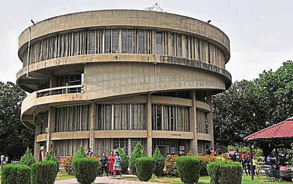
The team is led by Professor Harish Kumar, UIET, Panjab University and
includes Professor Sakshi Kaushal, Professor Sarbjit Singh, Dr.
Akashdeep, Dr. Veenu Mangat, Dr. Mukesh Kumar, and Dr. Preeti.
In execution of the project team is looking forward to rope in
Government of Punjab as well as Government of Haryana as the user
agency as Stubble burning is one of the major problems being faced by
citizens of northern India. It is a precursor to various respiratory
disorders like Asthma, skin and eye related diseases, low breathing
air quality. Despite Government of India’s initiatives in increasing
awareness about this evil, there has been a tremendous increase in the
number of such incidents every year. It is pre-dominant in the
Northern states namely Punjab, Haryana. Each year, approximately
10000+ biomass burning related fires per week are reported during the
harvesting season. Although various governments are making sustainable
efforts to curb this menace but lack of single system that can
integrate detection, alerting, report filing, monitoring and best
practices, is still far from reality.
https://propertyliquid.com/properties/3-bedroom-for-sale-in-brampton/
Project aims to utilize innovations in the field of communication
technologies like IoT, machine learning and digital world, to propose
a single system that is capable of performing various tasks involved
in detection, surveillance and monitoring of Active Fire Locations.
Data captured from satellite will be exploited to identify Active Fire
locations. In order to improve the preciseness of identified
locations, machine learning techniques will be employed for generating
a mapping between locations extracted using satellite data and actual
on-field locations captured by field visits (Ground Truths). The
integration of data captured by various sensors and the learnt mapping
will greatly aid in reaching out to actual real time location of AFL.
It will also act as Command and Control center to bridge the gap
between farmers and various agencies involved in best practices for
crop residue management by providing a common interactive platform.
Hindi News से जुड़े अपडेट और व्यूज लगातार हासिल करने के लिए हमारे साथ फेसबुक पेज और ट्विटर हैंडल पर जुड़ें!
